
Chhattisgarh Strengthens Geospatial and Logistics Planning Under PM GatiShakti
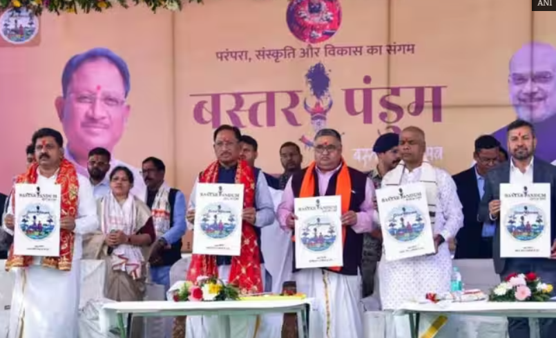
The Chhattisgarh Government has taken a significant step towards strengthening technology-driven infrastructure planning by signing two Memorandums of Understanding (MoUs) under the PM GatiShakti framework. The agreements with the Bhaskaracharya Institute for Space Applications and Geoinformatics (BISAG-N) and National Logistics Data Services Ltd. (NLDSL) are aimed at expanding the use of geospatial technology and integrated logistics data in governance and development planning.
The MoUs were signed on August 20 during the PM GatiShakti and LEADS 2025 Dissemination Workshop organised in Raipur by the Chhattisgarh Department of Commerce and Industries in collaboration with the Department for Promotion of Industry and Internal Trade (DPIIT).
Chief Minister Vishnu Deo Sai highlighted the role of PM GatiShakti in strengthening data-driven decision-making in the state. The integrated planning framework is enabling government departments to identify connectivity and logistics gaps, improve infrastructure planning and align industrial development with available infrastructure.
Chhattisgarh has already onboarded more than 35 departments onto the PM GatiShakti platform. The state has mapped 41 mandatory and more than 600 additional data layers, while developing 45 use cases and 30 analytical tools to support practical planning and implementation.
The state’s GIS-based approach is being applied across multiple governance areas. Geospatial analysis is being used to identify road accident black spots, helping authorities prioritise road-safety interventions. Similar data-driven applications are being used to identify villages with inadequate banking access and optimise bus routes under government schemes.
The collaboration with BISAG-N is expected to further strengthen geospatial applications, while the partnership with NLDSL will support the integration and utilisation of logistics-related data. These measures can improve coordination among departments and enable more evidence-based decisions on infrastructure, connectivity and logistics networks.
The initiative is also significant for Chhattisgarh’s industrial development. Better mapping of transport infrastructure, logistics facilities and connectivity gaps can support efficient movement of goods and improve the investment environment. Integrated logistics planning is particularly relevant for industrial corridors and emerging economic centres in the state.
PM GatiShakti is designed as a GIS-based national framework for multimodal infrastructure planning, with emphasis on seamless first- and last-mile connectivity and coordinated development. The Union Government states that the platform facilitates data-backed project planning and supports greater efficiency in logistics and infrastructure development.
Chhattisgarh’s progress under the framework has also received recognition, with the state identified as a high performer among landlocked states in the DPIIT’s LEADS 2025 assessment. The state’s continued adoption of geospatial and logistics technologies reflects a broader shift towards integrated, transparent and data-driven governance.